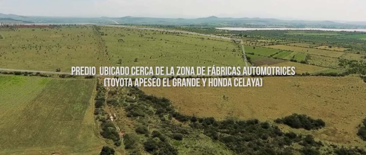
LAND USE: Agricultural and livestock with feasibility for residential and/or industrial use.
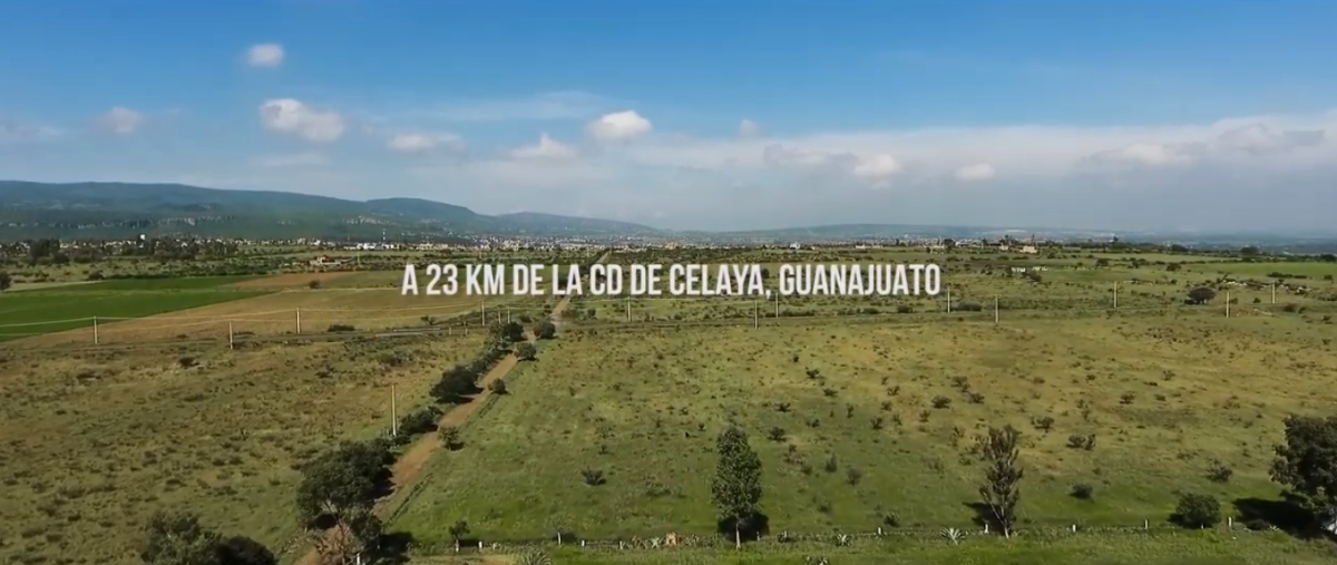
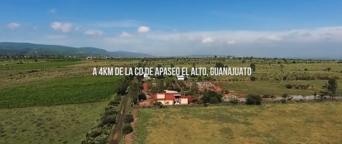
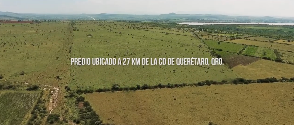
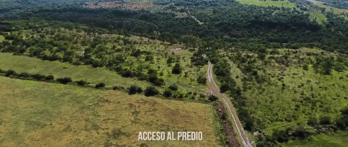
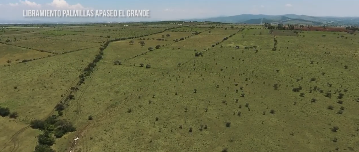
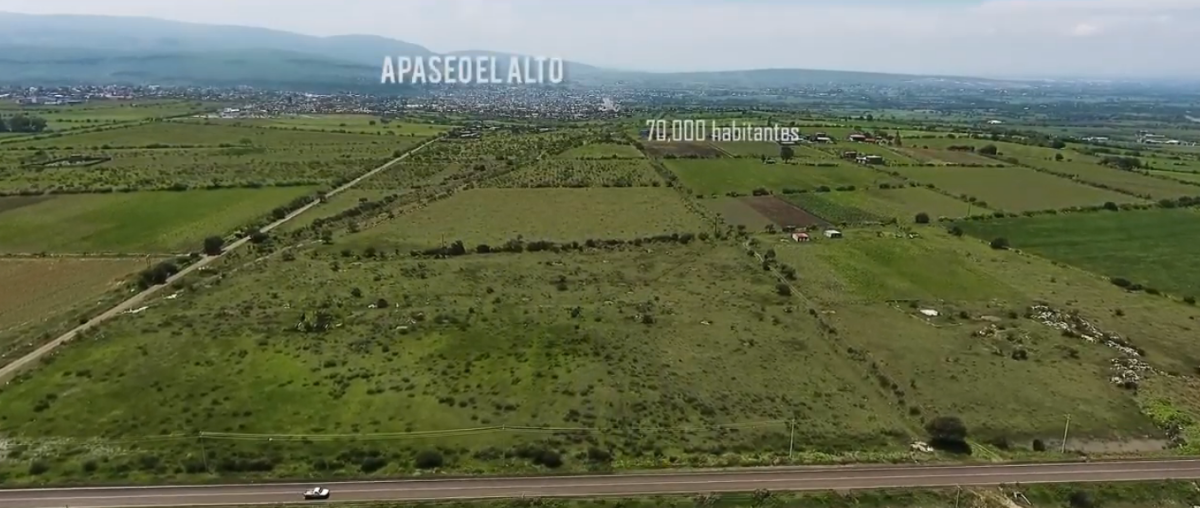
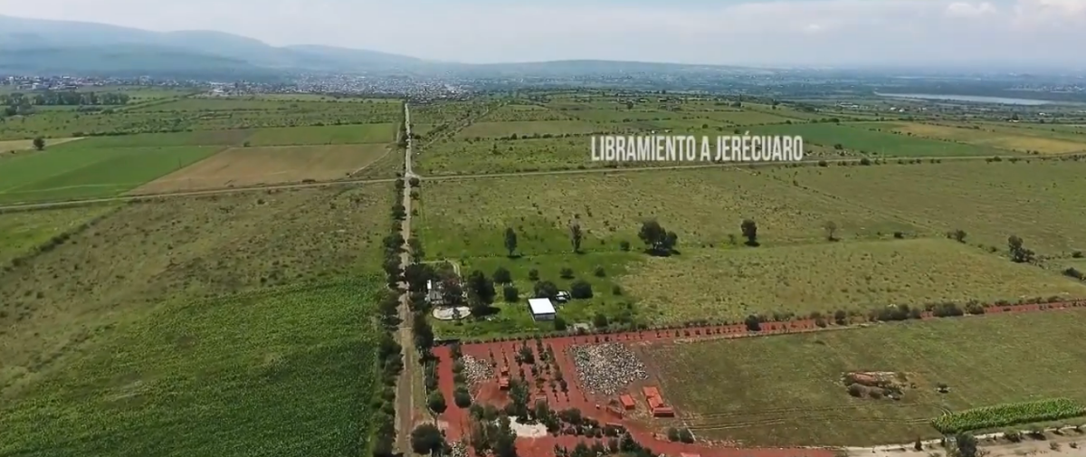
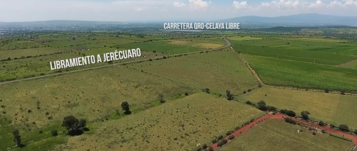
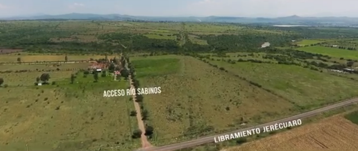
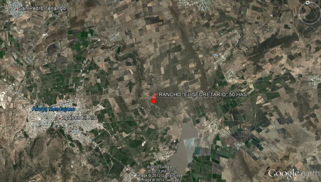
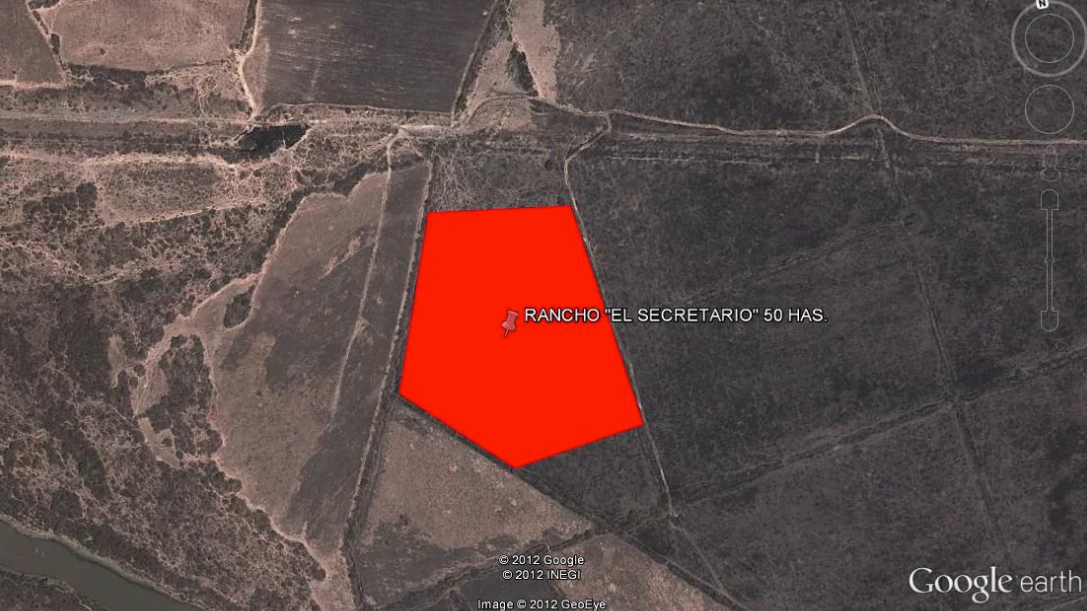
LOCATION: In the center of the Municipality of Apaseo el Alto, Gto. 4 km away on the Querétaro-Celaya freeway. 1.8 km from the Jerécuaro Bypass and 2.5 km from the Palmillas-Apaseo el Grande Bypass. Located 25 kilometers from the City of Querétaro and 23 kilometers from the City of Celaya, Gto. 4 kilometers from Apaseo el Alto, Gto.
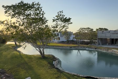
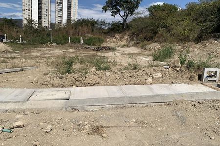
TOPOGRAPHY: Flat terrain with a slight slope, without significant topographic differences.
SUBDIVISION: It has authorization from the Urban Development Department for subdivision into 10 lots of 47,877,25 Square Meters each.
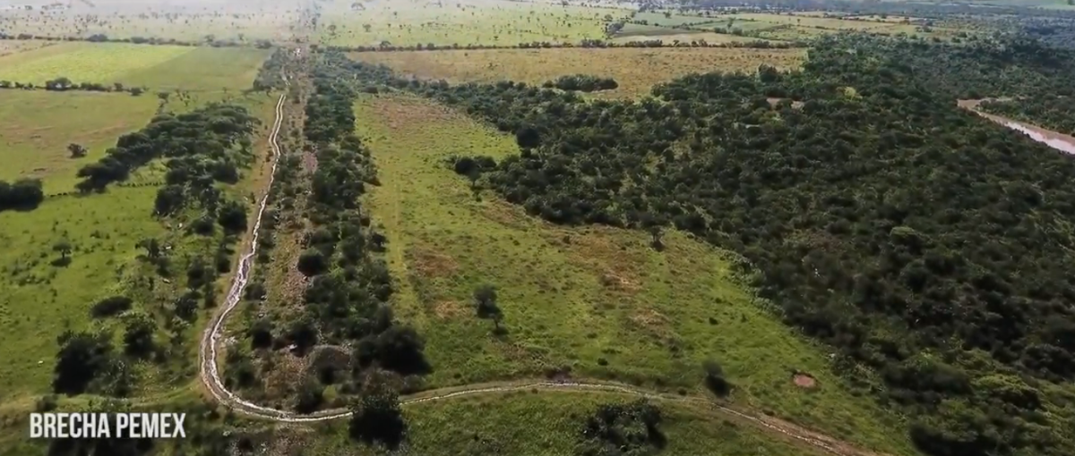
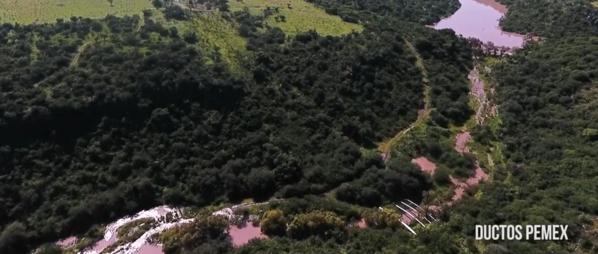
PEMEX: The land is crossed by Pemex pipelines and has a satellite plan that provides for the specifications of the right of way in accordance with the regulations of that company.
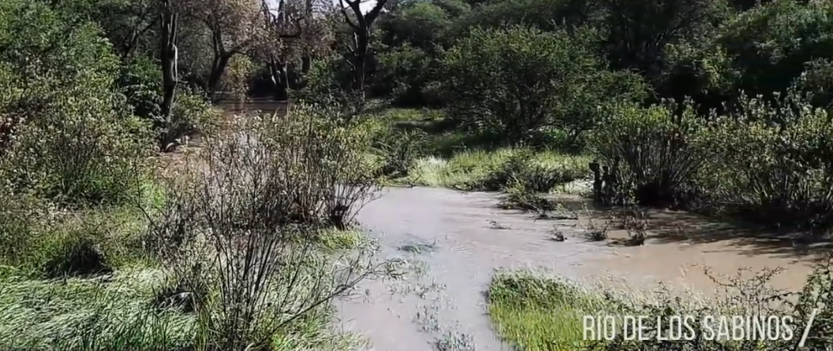
WATER: It has water rights for 84,000 cubic meters per year. CNA Concession
ELECTRIC POWER: At a maximum distance from high-voltage towers and very close to neighboring ranches from where it can be brought to the land.
STUDIES: We have a recent Geo-Hydrological study that indicates sufficient amounts of water in the subsoil.
PERMITS: Drilling permit for a well.USO DE SUELO: Agrícola y ganadero con factibilidad para uso habitacional y/o Industrial.
LOCALIZACIÓN: En el centro del Municipio de Apaseo el Alto, Gto. A 4 kms. sobre la carretera libre Querétaro- Celaya. A 1.8 kms. del Libramiento a Jerécuaro y a 2.5 kms. del Libramiento Palmillas-Apaseo el Grande. Ubicado a 25 kilómetros de la Ciudad de Querétaro y a 23 kms. de la Ciudad de Celaya, Gto. a 4 kilómetros de Apaseo el Alto, Gto.
TOTPOGRAFÍA: Terreno plano con ligera pendiente, sin desniveles topográficos importantes.
SUB-DIVISIÓN: Cuenta con autorización de la Dirección de Desarrollo Urbano para subdivisión en 10 lotes de 47,877.25 Metros Cuadrados cada uno.
PEMEX: El terreno es cruzado por las tuberías de Pemex y cuenta con plano satelital que prevé las especificaciones de derecho de vía de acuerdo al reglamento de dicha empresa.
AGUA: Cuenta con derechos de agua para 84,000 metros cúbicos al año. Concesión de CNA
ENERGÍA ELÉCTRICA: A una distancia máxima de las torres de alta tensión y muy cerca de ranchos vecinos de donde se puede traer al terreno.
ESTUDIOS: Contamos con estudio Geo-Hidrológico reciente que indica cantidades de agua suficientes en el subsuelo.
PERMISOS: Permiso de perforación para un pozo.
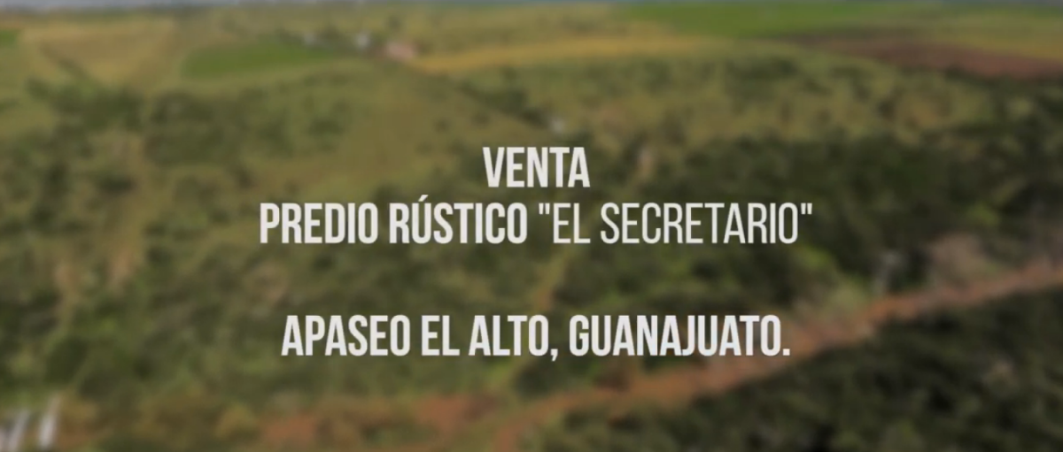
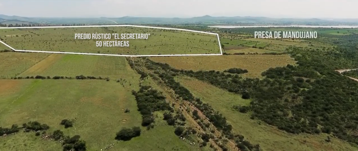
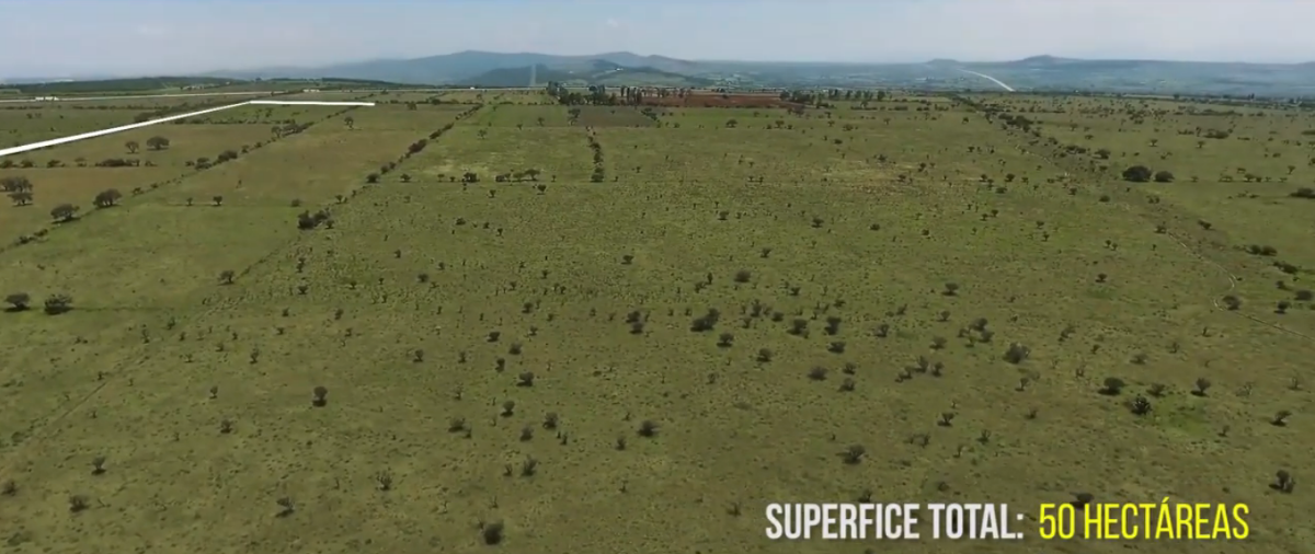
 SALE OF LAND (VIDEO) 50 HECTARES. AGRICULTURAL, HOUSING OR INDUSTRIALVENTA DE TERRENO (VIDEO) 50 HAS. AGRÍCOLA, HABITACIONAL O INDUSTRIAL
 Ver Tour Virtual